Dateline July 4, 2012, Gaspé Peninsula and Eastern New Brunswick
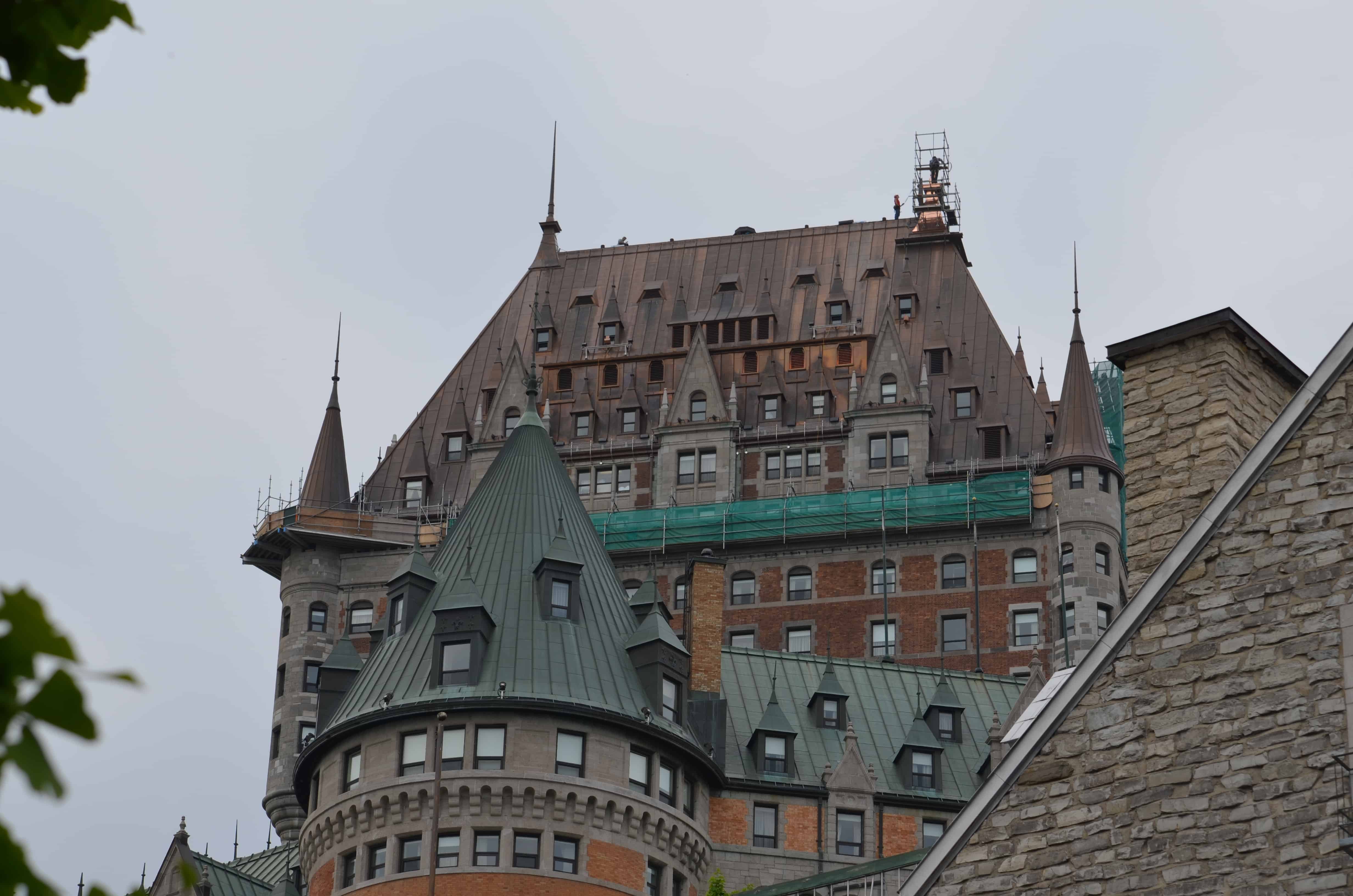
Leaving Quebec City we took Route 132 along the south side of the St. Lawrence River to the Gaspé Peninsula.
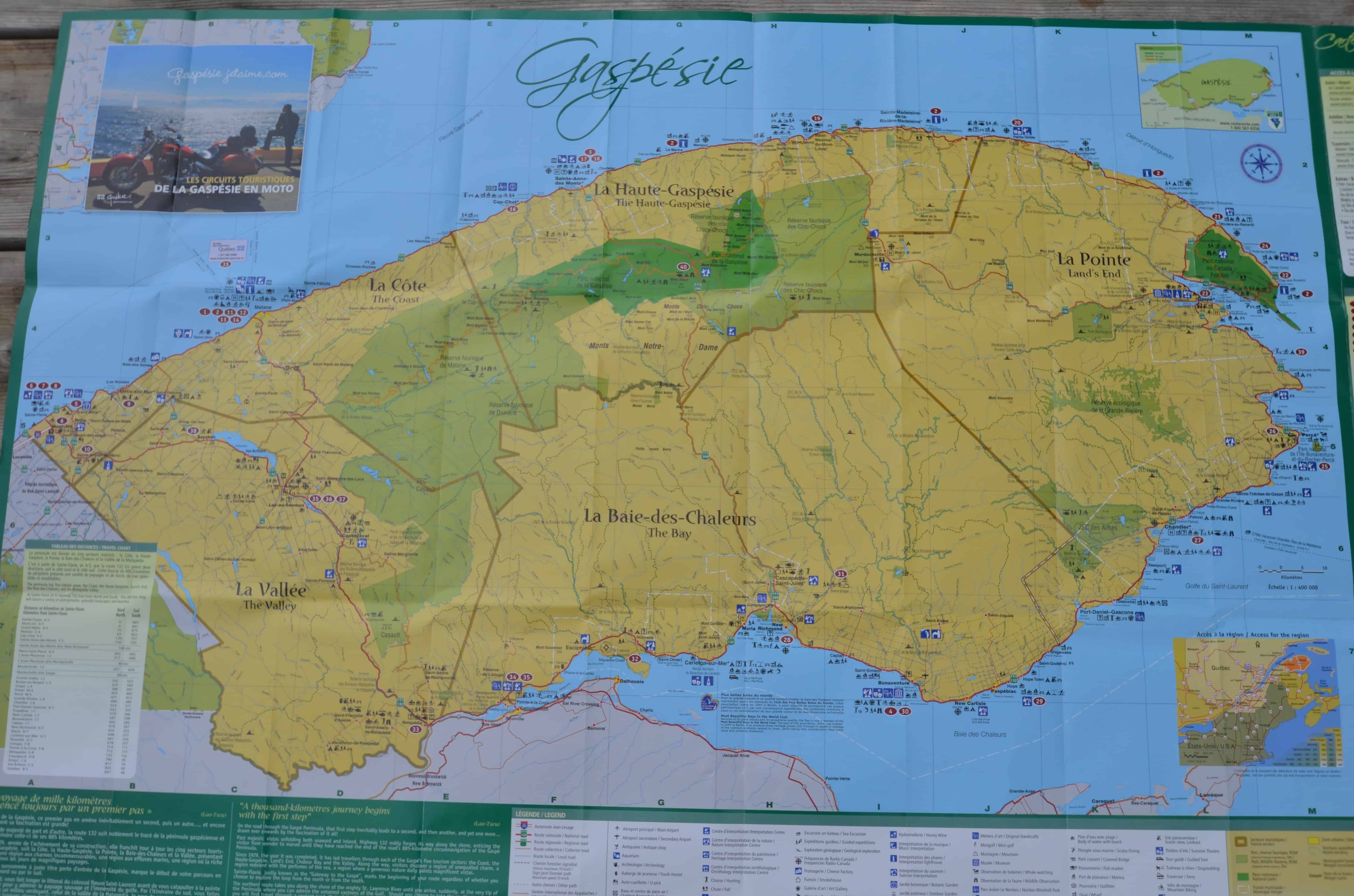
Gaspé reaches out into the Gulf of Saint Lawrence. The Appalachian Mountains actually end here. The peninsula is separated from New Brunswick on its southern side by the Chaleur Bay and the Restigouche River. The economy used to be fishing and timber. Both were overworked, and now tourism is the leading industry for the 100,000 residents spread across almost 12,000 square miles.
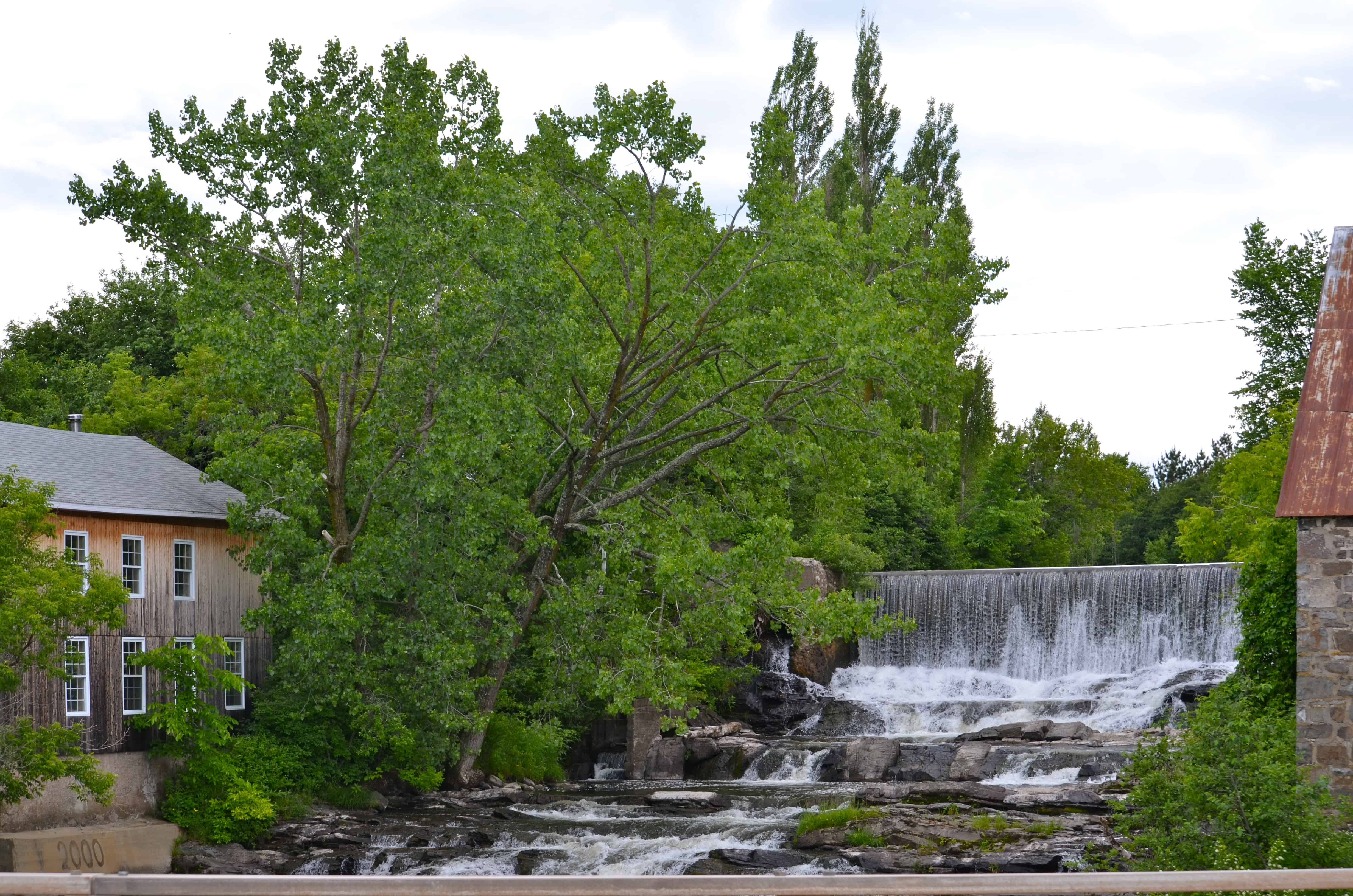
Unfortunately we toured most of the day in pouring rain. Driving through the small villages, most of them under a thousand people, was still interesting. There are small roads, the locals called them navigateurs, that turn off Route 132, run down through each village on the shoreline side, and rejoin the main road further along. They are the best way to see the place. We took them as we went.
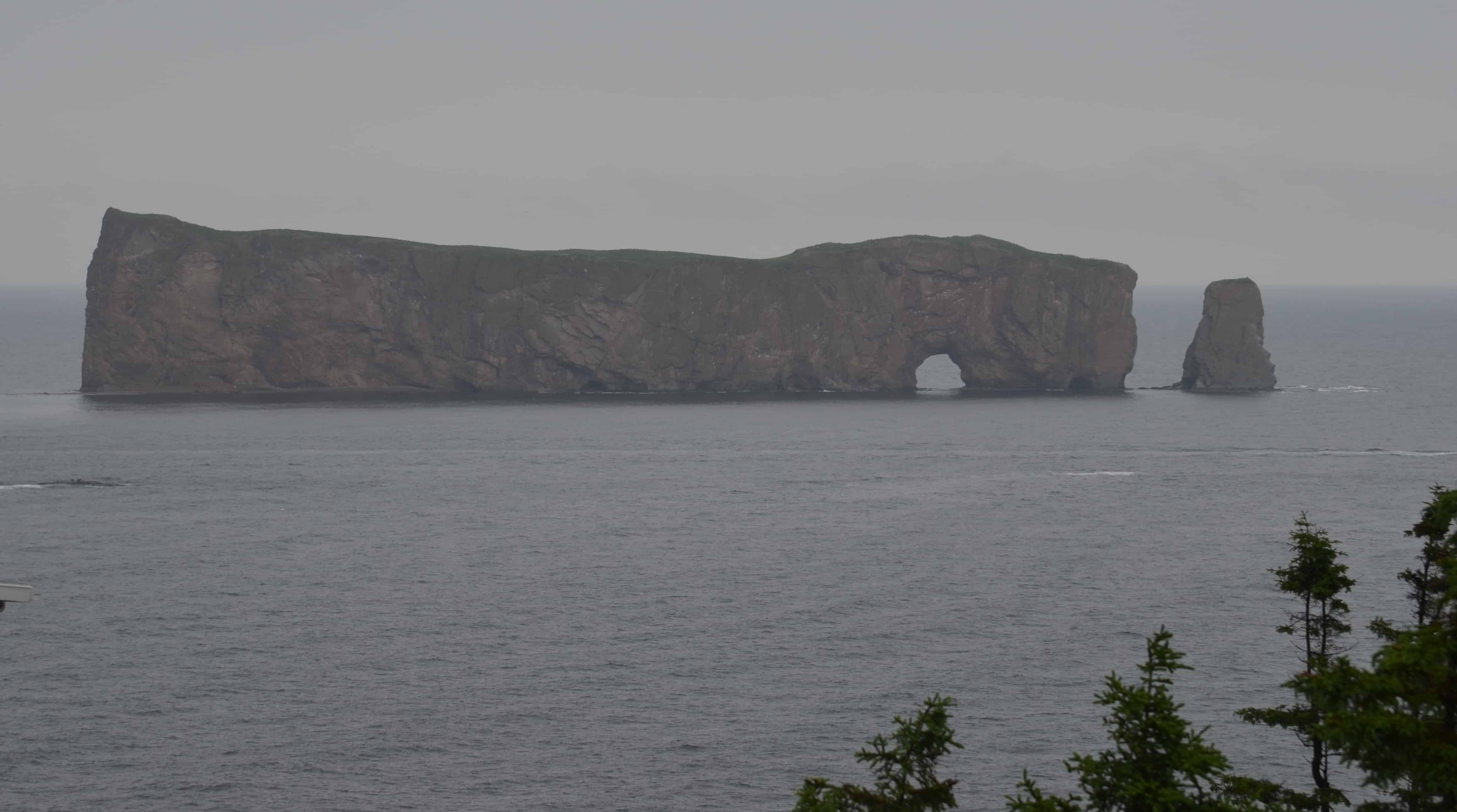
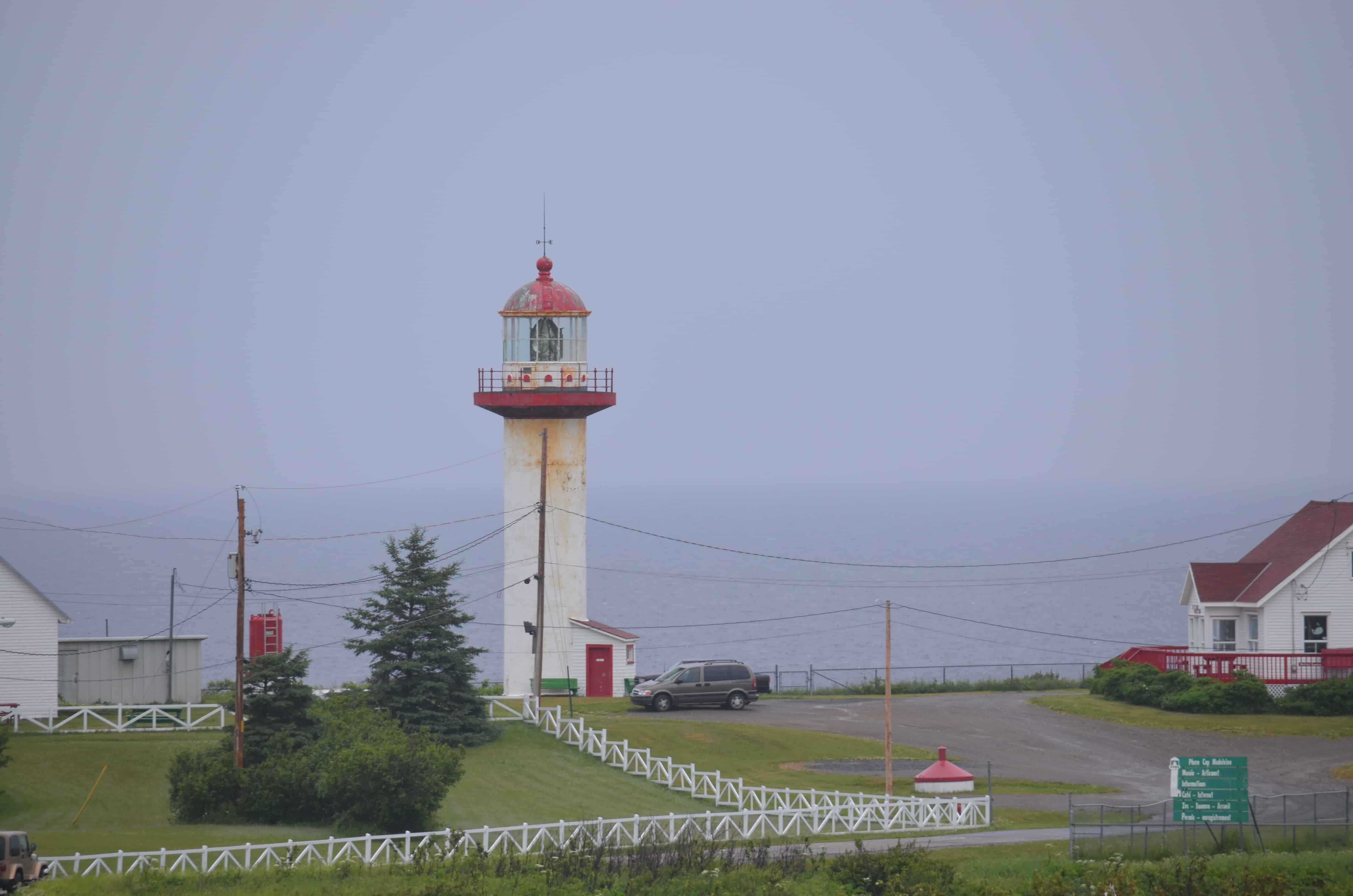
We drove out to the easternmost point of the peninsula to Percé Rock.

From a distance the rock looks like a ship under sail. It is considered one of the world's largest natural arches standing in water, a geologically and historically rich icon of Quebec, and the major attraction in the Gaspé region. It reminded us of the London Arch on the Great Ocean Road in Australia.
This stretch of the peninsula is called Lands End. For a moment we thought there might be an outlet store. Janice pointed out, gently, that Lands' End is the catalog company, online only. Duh.
Just beyond Percé we found a fish market, Poissonnerie D. Caron at 8 rue Windsor Est in Cap-d'Espoir. Fresh cod for dinner. Traveling down the coast, the weather improved and we got some beautiful views. We found a great campsite in Carleton-sur-Mer.
The campsites are tucked along an isthmus off the main road, right on the beach. We cooked our cod and opened a bottle of white wine. A good evening.
In the morning the sun came back. We followed the coast along to the bridge that connects the peninsula to New Brunswick at Campbellton. After a stop at the visitor center, where they loaded us up with information, we decided to play a round at the Restigouche Golf and Country Club in Campbellton.
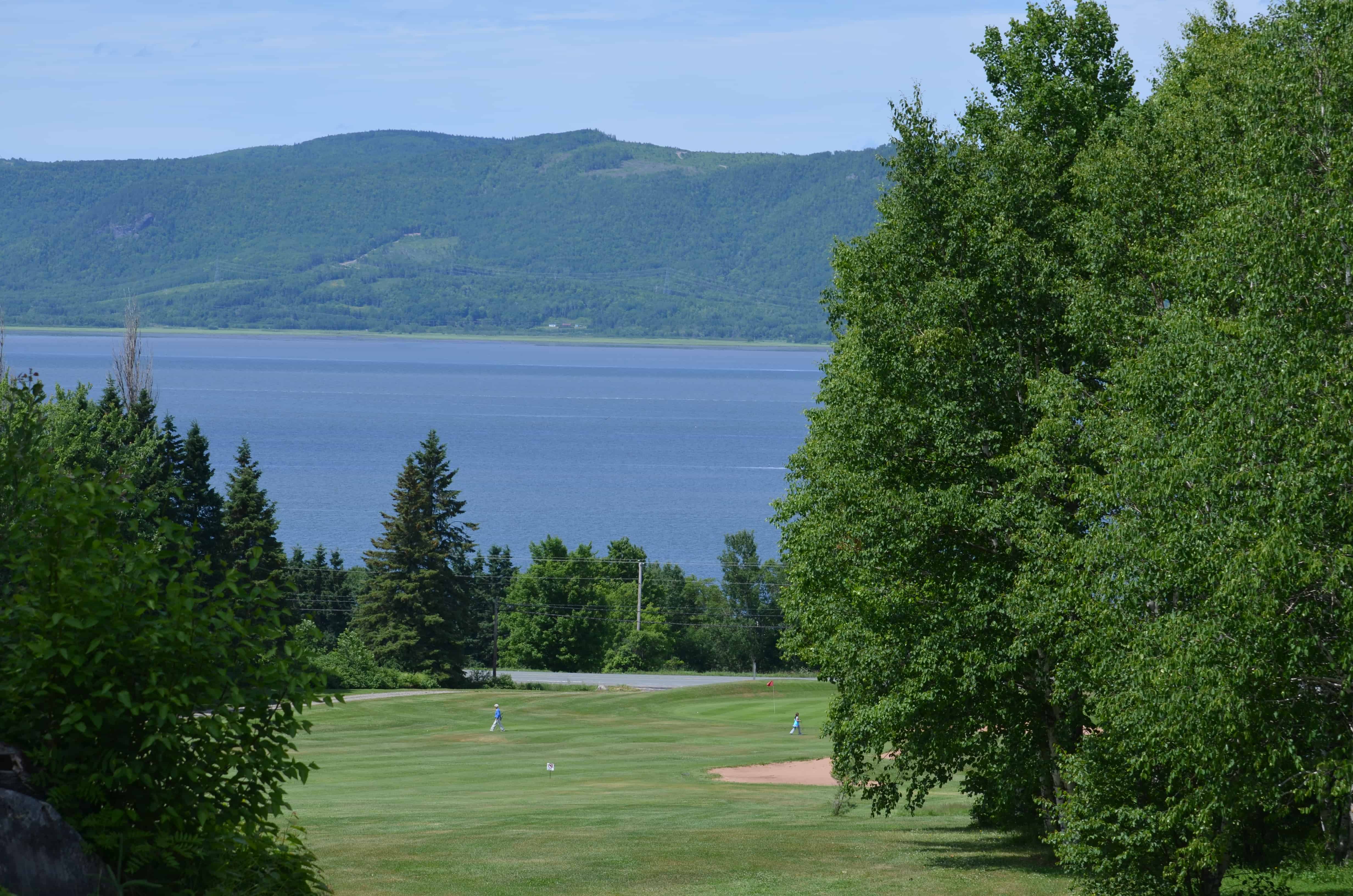
Founded in 1923, this 18-hole course overlooks the Restigouche River and the Bay of Chaleur, with spectacular views of the Appalachian Mountains and the Province of Quebec on the far shore. A good fun course. The thunder started on the ninth green, which became the end of the round. We headed out toward Bathurst to find a campsite for the night.
In the morning we set off for the Acadian Isles, following the eastern coast of the province.
The rain came back. We stopped at the Creek Seafood Restaurant in Moncton for lunch. The clam chowder was one of the finest we have had anywhere, and the lobster club sandwich was sensational. The thunderstorms got worse and we kept going down the coast to Miramichi, where we found a campsite just south of the city off Route 11. Camp Miramichi was relatively new. The couple who bought the place three years ago had built four tree houses that guests can book and stay in. The campground is off the ocean but was a delight.
We took a leisurely drive along the coast the next day, stopping at a small seafood stand and buying a lobster that they steamed for us on the spot. Janice spread out her work area on the side of the road, picked the lobster apart, mixed up a lobster salad, and made sandwiches.
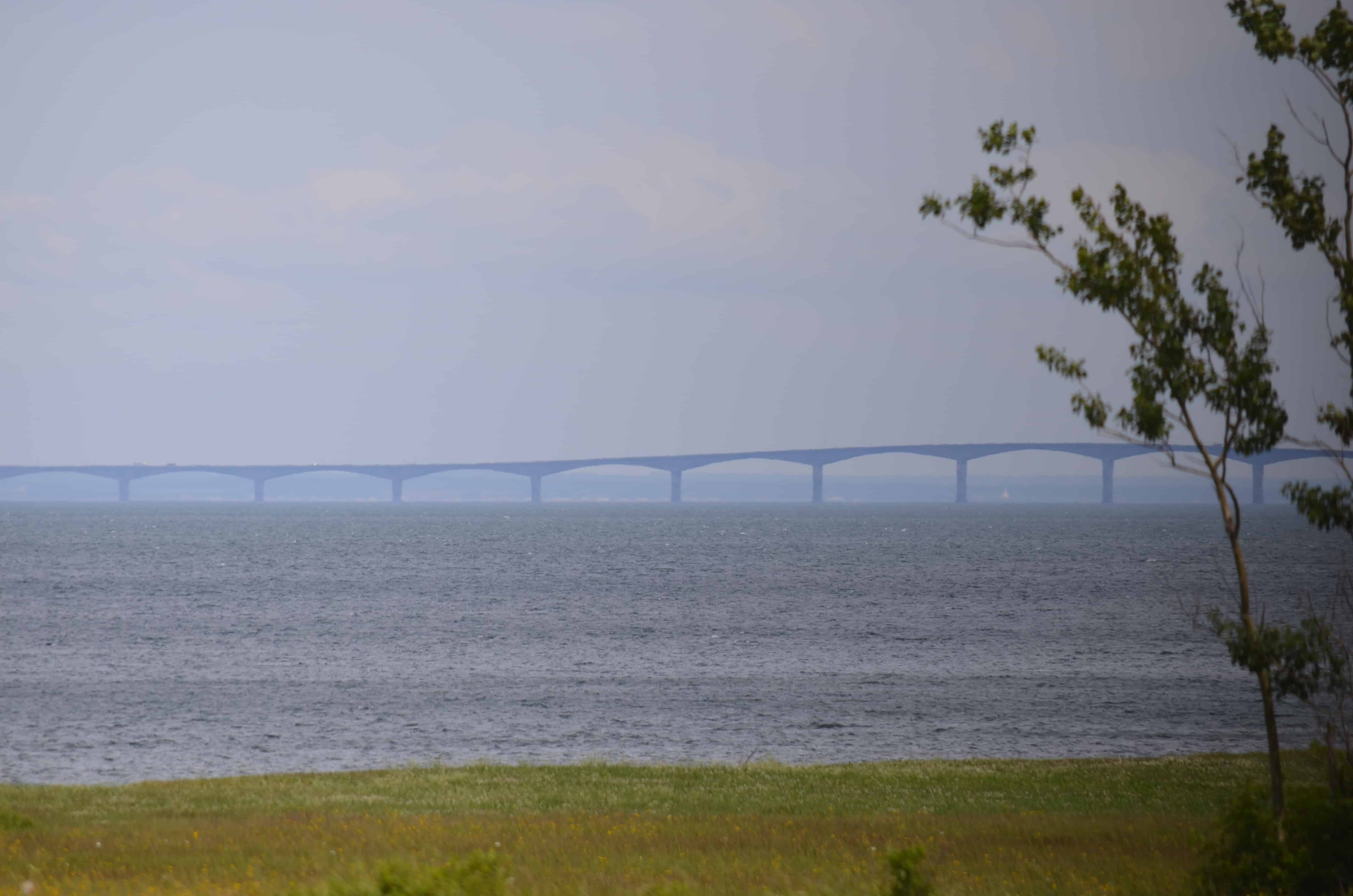
We arrived at the Confederation Bridge to Prince Edward Island.
After Prince Edward Island, Nova Scotia, and Newfoundland, we will come back through and finish New Brunswick. On to PEI.