Dateline June 3, 2018: Utah - A Beautiful State
 Our attitude about RV problems, is “forget it!” Tomorrow, as they say, is another day!
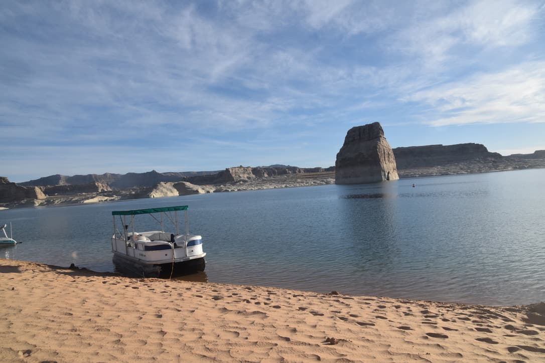
We left Sedona and headed north to Lake Powell for a few days of enjoying Utah. We pulled into the Walmart in the town of Lake Powell around 7:30. We solved our refrigerator problem with an extra cooler and lots of ice! In the morning we continued towards Bryce Canyon. Had we drove an hour longer the night before we could have stayed on Lake Powell at a great beach where you drive down on the sandy beach and park, views were wonderful so we highly recommend you make this stop called Lone Rock Beach Campground.
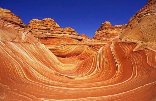
The Wave
As we continued our drive we were passing another famous stop, "The Wave" a beautiful rock formation in Antelope Canyon. This place is very famous and few ever get the opportunity to take the hike and see the beautiful rocks. To see this park you either book it three years in advance, it seem that way, really many months in advance, or sit for the 9:00 AM lottery held each day for the ten positions to hike into it. We signed up for the lottery and waited with 200 of our new friends as the numbers were called. No luck, some friends they were, you would have thought they would have given us their winning ticket!
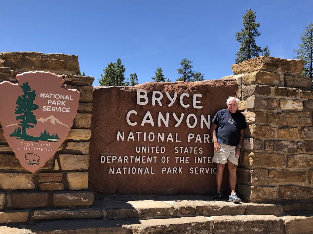
Bryce Canyon
We continued on the road to Bryce Canyon.
Bryce Canyon is part of the Grand Staircase.
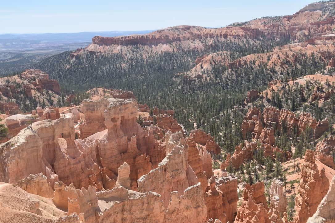
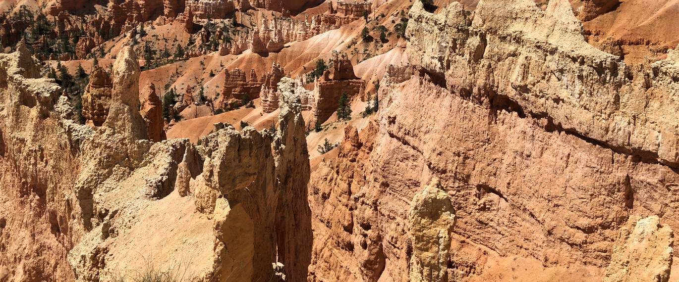
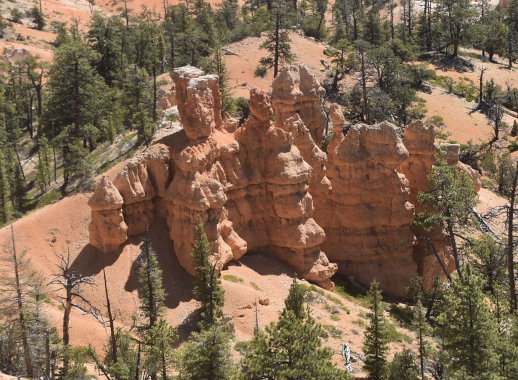
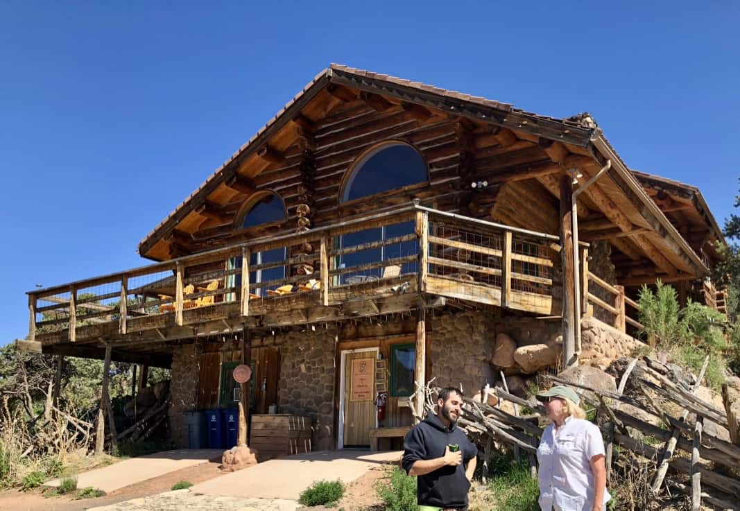
The Grand Staircase, which includes Bryce Canyon, is more remote and less visited. It is spectacular and contains the most extensive network of slot canyons in Utah. That evening we checked into a cute RV park owned by a local family in "downtown Escalante."
"Hell's Backbone Road" and Boulder Ranch
Janice used to keep and ride her horse Durango at a nearby ranch called Boulder Ranch. Sioux and Bob owned the place and had many visitors as part of Trek America, where they would take participants on horseback into the Escalantes. The owners lived in a large house with their two sons, and there were bunk rooms downstairs where Janice stayed, most often with her friend Marty as well. We helped move the cattle and explored the mountains and valleys (this was before John became a part of the family).
In the morning we started to drive "Hell's Backbone Road," the only route between Escalante and Boulder until Route 12 was completed in 1983. Hell's Backbone runs from juniper desert up into the lush pine and aspen forest on Boulder Mountain. It was built by Civilian Conservation Corps (CCC) workers during the Great Depression.
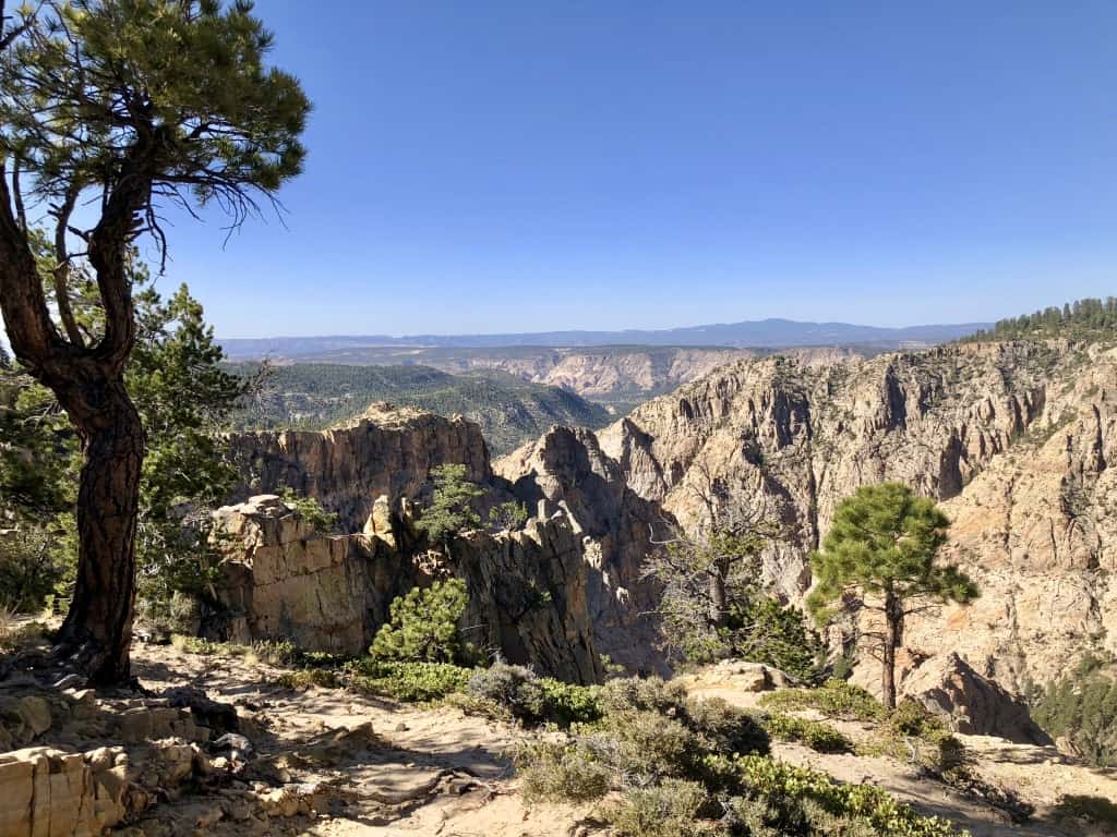
It was a "washboard" dirt and gravel road, only open during late spring and summer. The road was rough but the views were sensational, with many ponderosa pines along the way. About midway along the route, we crossed the historic wooden Hell's Backbone Bridge. There the road follows contours just above the Box/Death Hollow Wilderness Area and provides outstanding views down into rugged canyons, as you can see from the pictures.
Janice wanted to show John the old Boulder Ranch. She thought we would have to drive out of our way once we got to the town of Boulder, but as we came to the end of "Hell's Backbone" she said "this is where the ranch was". And sure enough, a little farther on, we came to the turn into the ranch and drove down.
John had heard so many stories about the ranch over the years, and it was great to finally see it. We spoke with a man who worked at the place now, a huge house where Sioux and Bob's master bedroom is now the kitchen. The family that purchased the property just bought the neighboring ranch and plans to host artists of all kinds, a far cry from the working ranch with cattle and horses. Janice used to fly Delta to Las Vegas with saddle and chaps in hand, transfer to a small Cessna, and land at a local dirt landing strip where the owners would pick her up. The many stories of the rides and herding the cattle were great fun to hear over a drink or two!
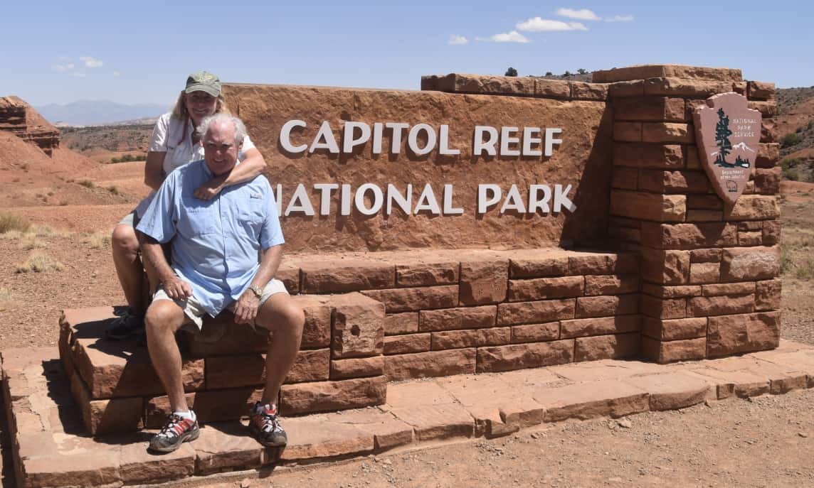
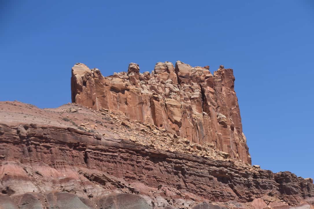
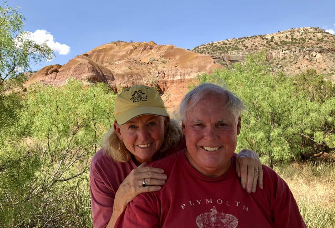
We drove on into Boulder, Utah, a three-store town, and headed up to Capitol Reef National Park.
Capitol Reef National Park
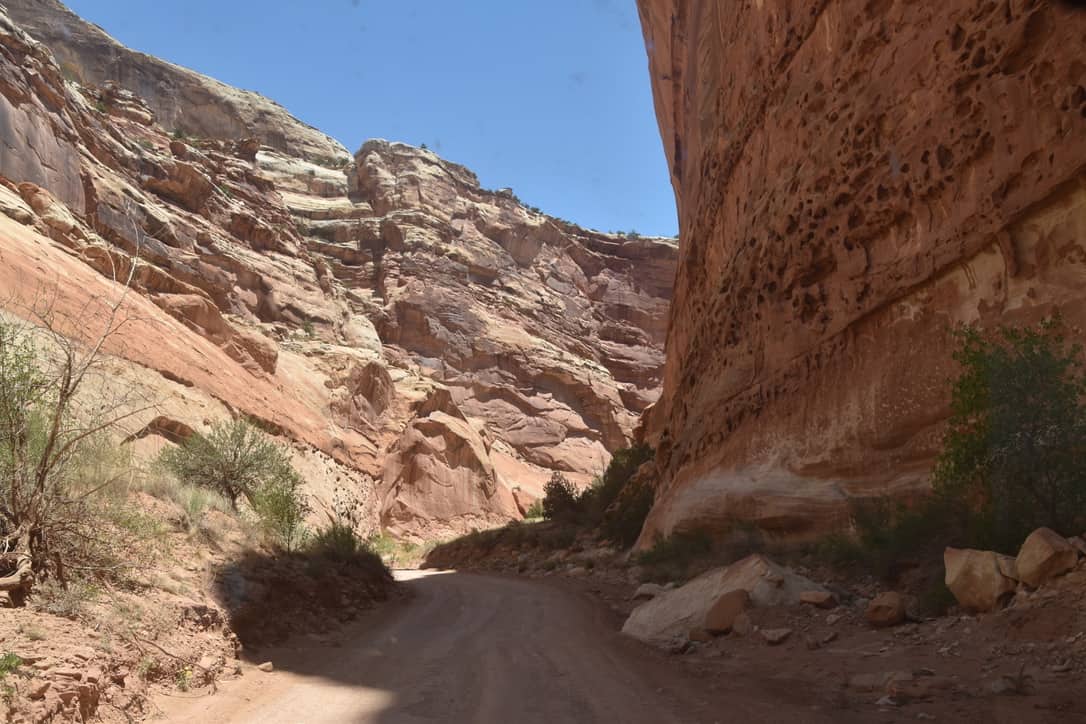
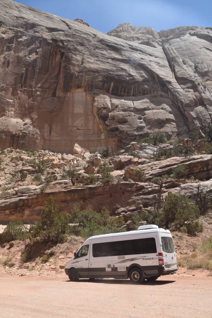
There is an eight-mile scenic drive to the end of the canyon, and from there you can pick up Capitol Gorge Road, a narrow, unpaved two-mile stretch with canyon walls towering overhead.
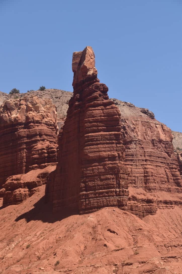
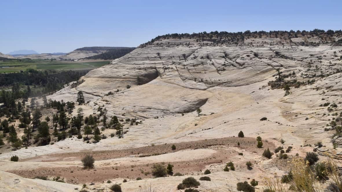
The Waterpocket Fold defines Capitol Reef National Park. Stretching nearly 100 miles north to south, it is the largest exposed monocline in North America, a fancy term for a place where flat rock layers take a sudden step up, like a tablecloth pulled over the edge of a table. The west side sits more than 7,000 feet higher than the east. It all started 50 to 70 million years ago, when the same tectonic forces that pushed up the Rocky Mountains reactivated a buried fault under this corner of Utah. Erosion did the rest. Water collecting in shallow basins (the "waterpockets" that give the Fold its name) slowly carved out the cliffs, canyons, arches, and white sandstone domes we drove through. Those domes, by the way, are where the park gets the "Capitol" part of its name; early explorers thought they looked like the U.S. Capitol building, and the "Reef" came from the long ridge itself, which blocked their wagons the way an ocean reef blocks a ship. What strikes us most is that this whole dramatic landscape has only been exposed at the surface for the last 15 to 20 million years. By geologic standards, it is practically brand new.
Hole in the Rock
On our way back to Escalante we took a dirt road to try to find the "Hole in the Rock," where in 1880 a Mormon expedition made its way down to the Colorado River. The story is a remarkable one. In November of 1879, about 250 settlers with 83 wagons and over a thousand head of livestock set out from Escalante to colonize the San Juan country in southeastern Utah. They expected the journey to take six weeks. It took six months. The hardest stretch was the descent through the Hole in the Rock itself, a narrow crevice in the west wall of Glen Canyon, 1,200 feet above the river.
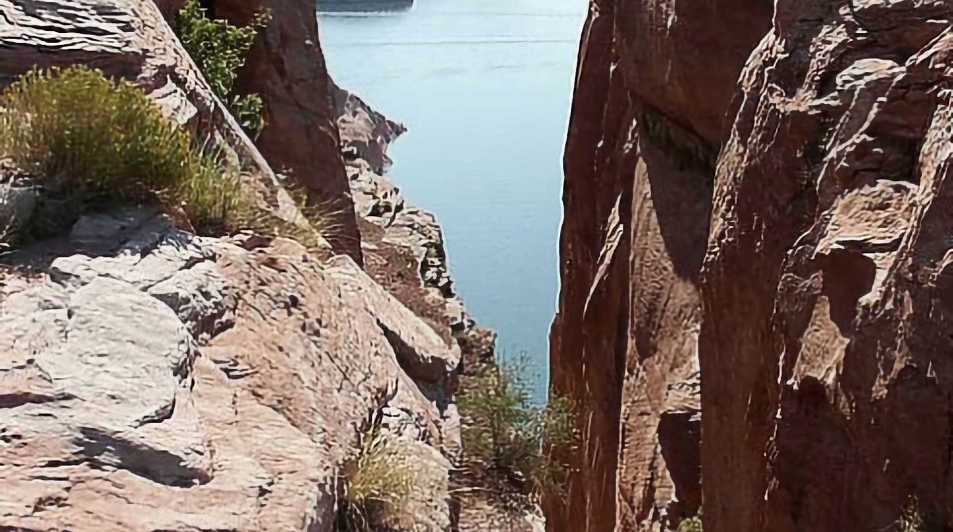
For six weeks the men blasted and chiseled to widen the crack enough for a wagon to pass. Then on January 26, 1880, they began lowering wagons down a 45-degree slope using ropes, anchor points drilled directly into the sandstone, and teams of men straining against the weight. Every one of the 83 wagons made it down without a single human life lost, and two babies were born along the way. The road got too rough for our rig before we reached the opening, so we had to turn back, but the story has stayed with us. It is a story of faith and determination, and it is worth reading.
Photo courtesy of Wikimedia Commons (public domain).
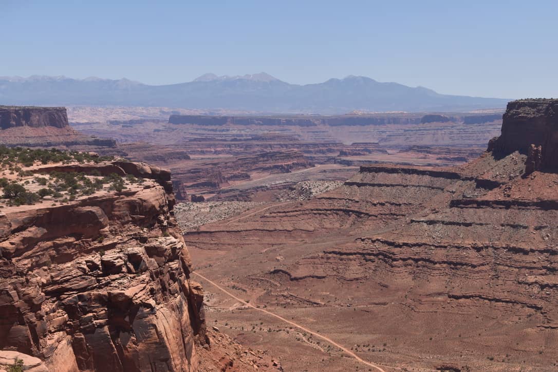
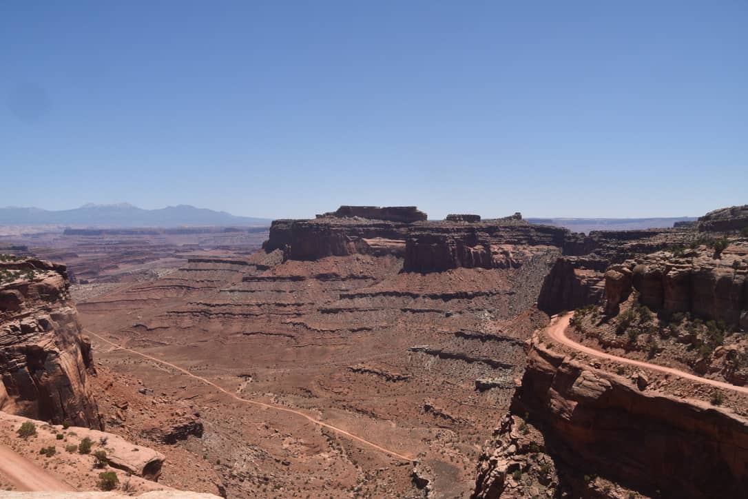
Canyonlands National Park
After our last night in Escalante, we drove to two more of the fabulous Utah parks: Canyonlands National Park and Arches National Park. We took the drive up to the visitor center at Canyonlands, and the views down into the deep canyons were spectacular. These trails are too difficult for us to hike now, so we stayed near the visitor center and soaked in the scenery.
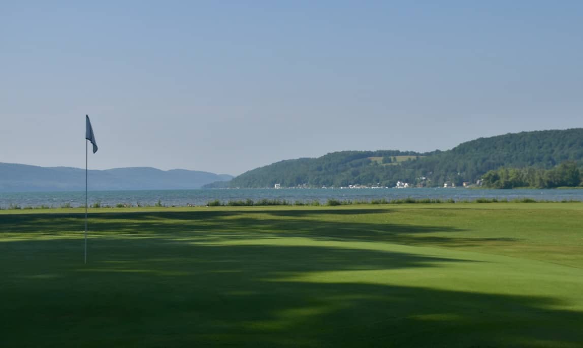
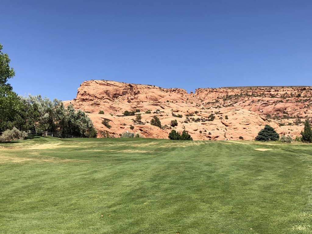
We decided to head back down to Arches National Park, but the entrance line was long, so we changed plans and played golf in Moab instead, saving Arches for early the next morning. The course was very nice, and more importantly, the views were terrific. After a fine afternoon on the links, we parked the rig at a local park.
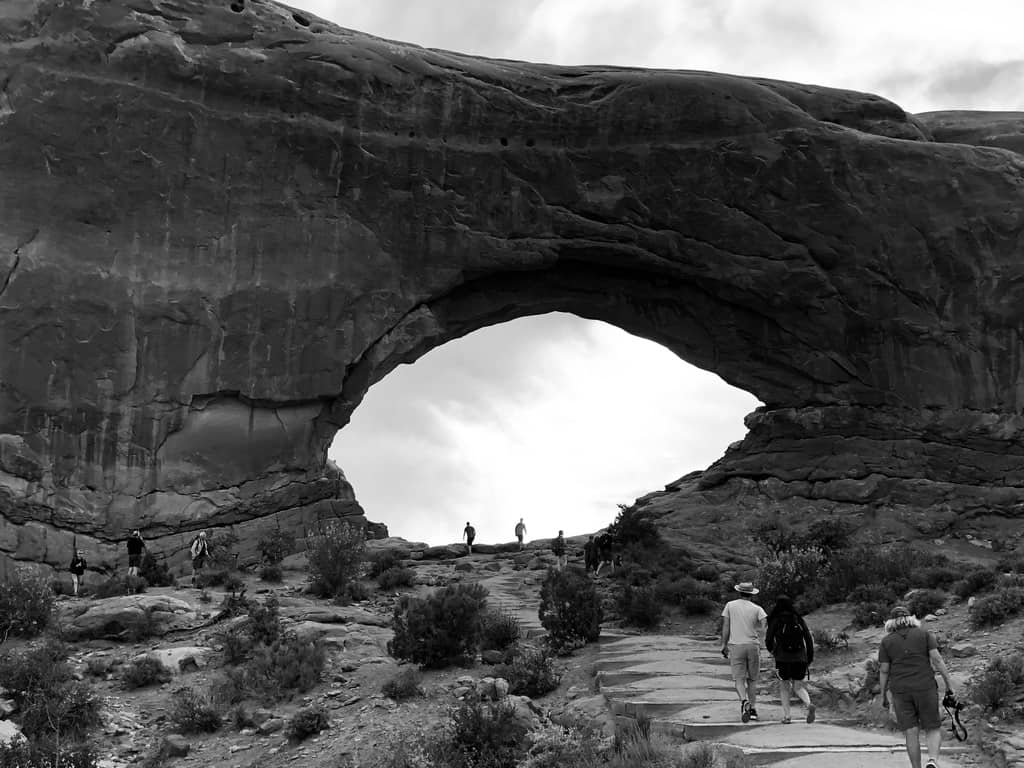
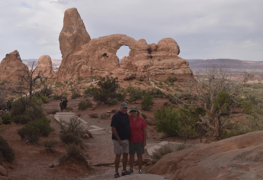
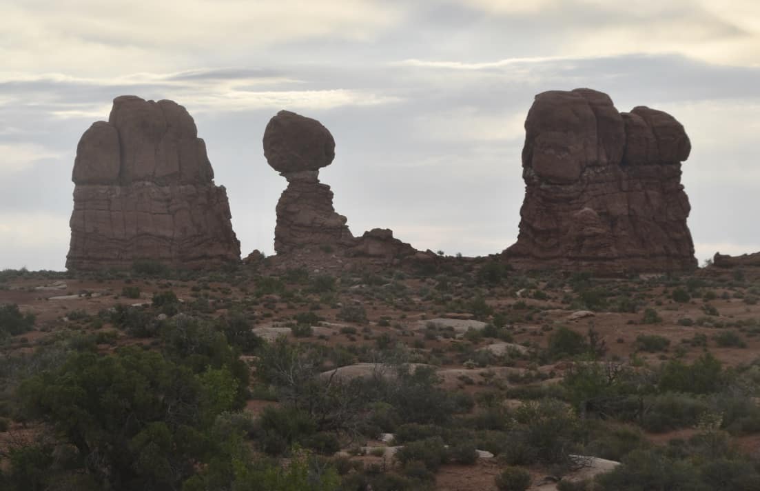
Arches National Park
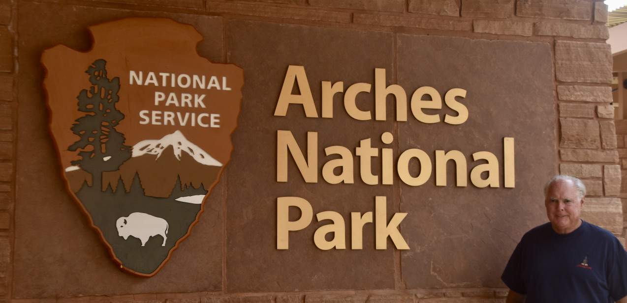
In the morning we got up early and headed into Arches National Park. We were ahead of the traffic, so it felt like having the park to ourselves. We did not hike, which meant we missed some of the most famous formations, but we spent good time at The Windows and along the scenic drive.
John took a great black-and-white photograph of one of The Windows.
A few more from our morning. There really are too many beautiful views to show.
John was disappointed that we could not visit Zion because of rig problems, but the rest of Utah was just remarkable. And as we all know, you cannot see all the beauty of our country in a lifetime.
The Great Salt Lake
We headed for Salt Lake City, where Janice had procured a spot for the RV at Great Salt Lake State Park. We arrived and were pleasantly surprised to get one of only five RV spots.
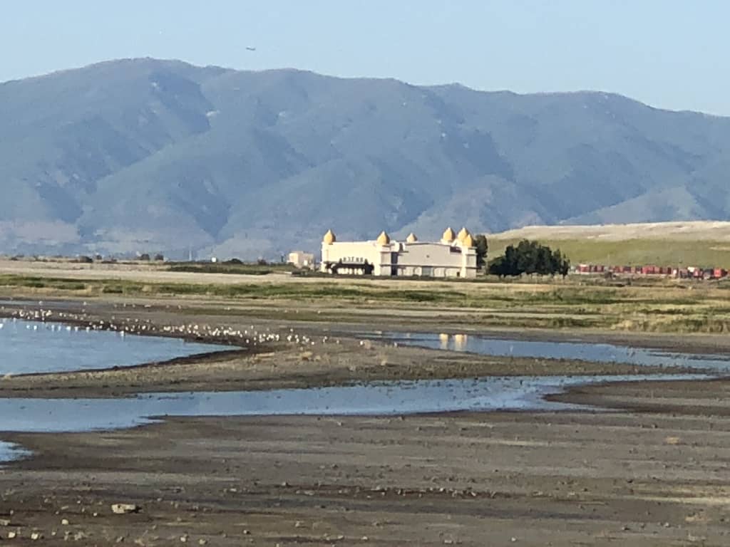
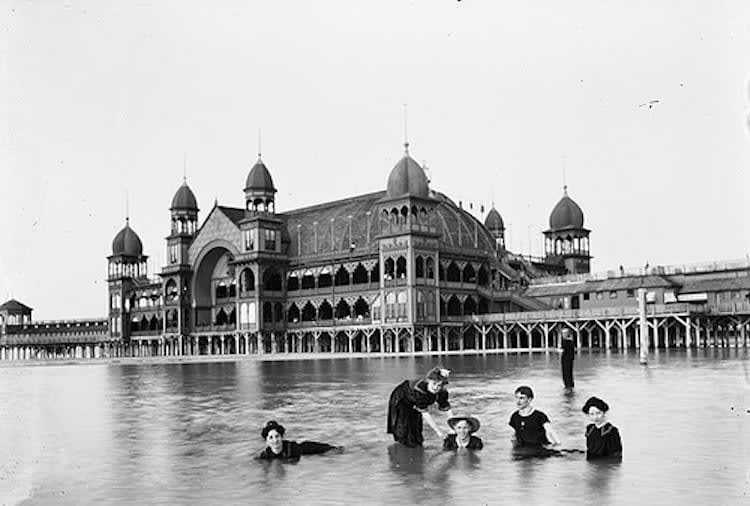
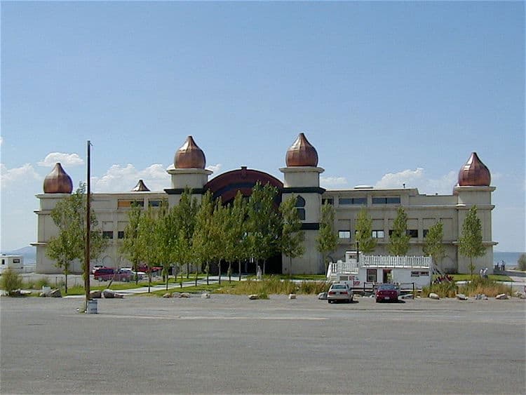
We were parked right on the water and could see everything going on around the lake. Across the way stood what looked like a hotel, actually the historic Saltair, now used as a concert venue. Saltair has quite a story. The original pavilion opened in 1893, built by the Church of Jesus Christ of Latter-day Saints together with the Salt Lake & Los Angeles Railway and intended from the start to be the Coney Island of the West. For a time it was the most popular family destination west of New York, a Moorish pavilion perched on more than 2,000 wooden pilings driven into the lake bed, with a giant roller coaster and what was billed as the world's largest dance floor. The Church sold the resort in 1906, and in 1925 fire destroyed it. It was rebuilt, but more fires, a receding lake that left the resort stranded far from the water, and eventually arson finished off the second Saltair in 1970. The third version, built in 1981, was promptly flooded by rising lake waters and sat dilapidated until 2005, when it was refurbished as the concert venue we were looking at.
We watched tour buses pull in and out of the state park marina, many of them carrying visitors from China. We struck up a conversation with one young woman whose parents had flown over to visit her; she was a college student at the University of Texas.
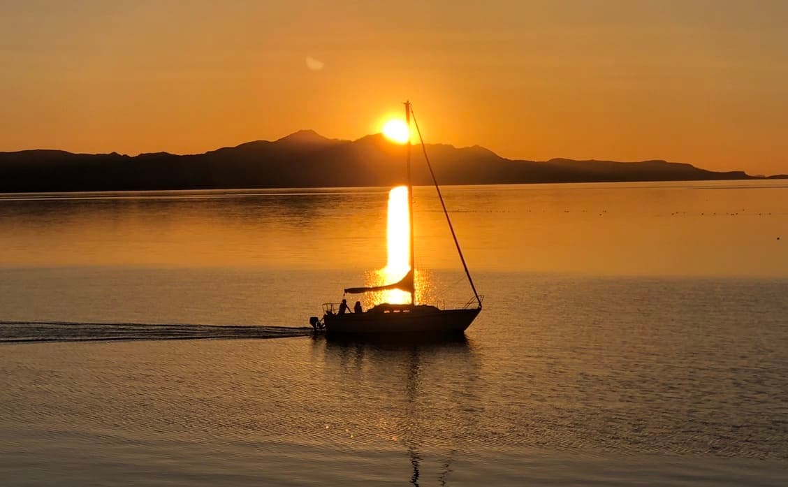
That evening the sunset was special, a local sailboat gliding past just in front of us.